1,373 itinéraires dans Odenwald. Trouvez votre prochain parcours sur Isomaps — cartes topo, GPS et profil altimétrique.
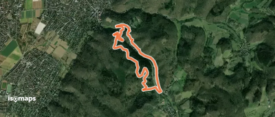
Seeheim-Jugenheim, Allemagne
4,61 km +322 m 1h 55min
Facile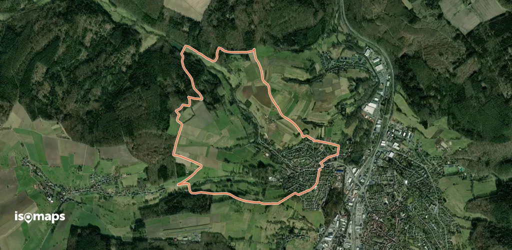
Hemsbach, Allemagne
4,32 km +240 m 1h 30min
Facile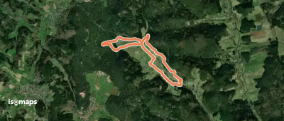
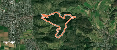
Ober-Hiltersklingen, Allemagne
8,22 km +322 m 2h 20min
Facile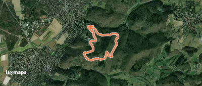
Unter Hiltersklingen, Allemagne
3,57 km +229 m 1h 20min
Très facile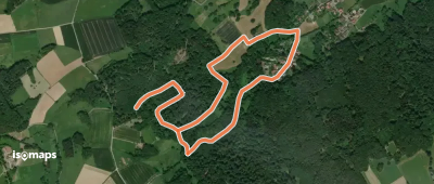
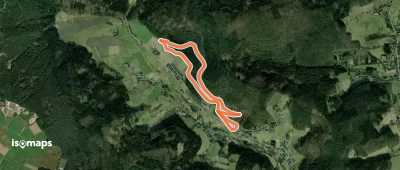
Johannesberg, Allemagne
3,04 km +161 m 55min
Très facile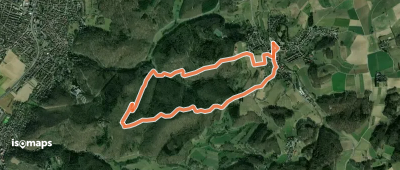
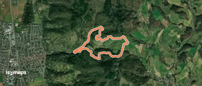
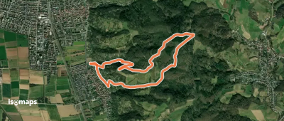
Ober-Beerbach, Allemagne
5,45 km +234 m 1h 30min
Très facile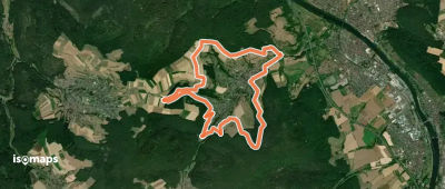
Mömlingen, Allemagne
4,21 km +105 m 55min
Très facile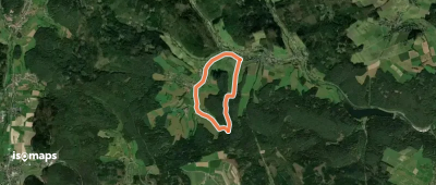
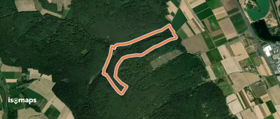
Hüttenthal, Allemagne
4,71 km +153 m 1h 10min
Très facile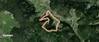
Kirchberg, Allemagne
3,91 km +177 m 1h 5min
Très facile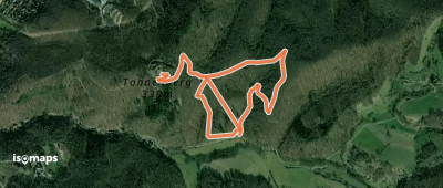
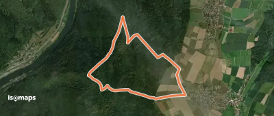
Fränkisch-Crumbach, Allemagne
7,09 km +341 m 2h 5min
Facile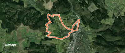
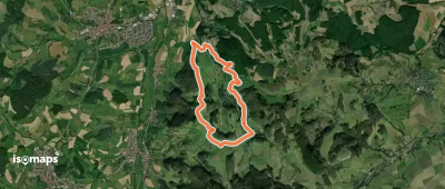
Michelstadt/Odenwald, Allemagne
10,27 km +341 m 2h 35min
Facile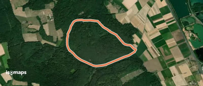
Mömlingen, Allemagne
4,37 km +97 m 55min
Très facile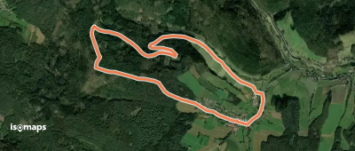
Neckarhäuserhof, Allemagne
5,57 km +170 m 1h 15min
Très facileEssayez Isomaps gratuitement pendant 7 jours. Disponible sur iOS et Android.
