1,373 itinéraires dans Odenwald. Trouvez votre prochain parcours sur Isomaps — cartes topo, GPS et profil altimétrique.
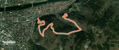
Ober-Ramstadt, Allemagne
69,48 km +2 670 m 18h 5min
Très difficile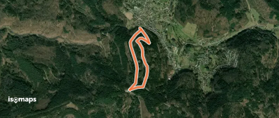
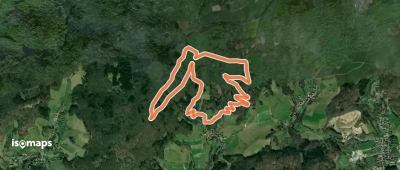
Wilhelmsfeld, Allemagne
2,91 km +135 m 50min
Très facile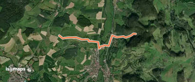
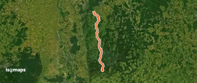
Fränkisch-Crumbach, Allemagne
2,41 km +112 m 35min
Très facile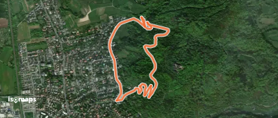
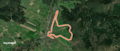
Zwingenberg, Allemagne
2,99 km +185 m 1h 5min
Très facile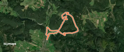
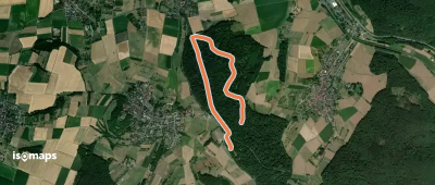
Affhöllerbach, Allemagne
3,27 km +152 m 55min
Très facile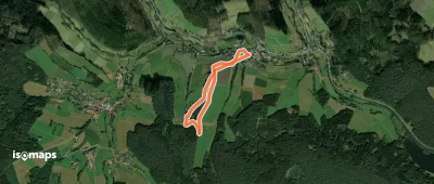
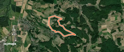
Scheuerberg, Allemagne
6,05 km +261 m 1h 35min
Très facile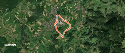
Wiebelsbach, Allemagne
2,82 km +91 m 40min
Très facile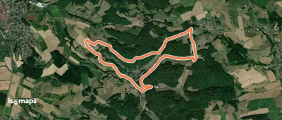
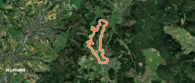
Rohrbach, Allemagne
14,55 km +642 m 3h 55min
Modéré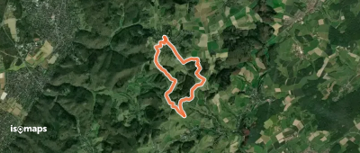
Ober-Beerbach, Allemagne
6,57 km +267 m 1h 45min
Très facile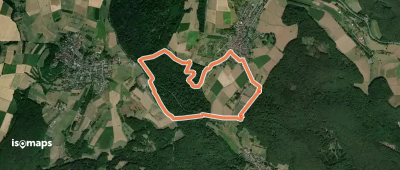
Wiebelsbach, Allemagne
4,74 km +217 m 1h 30min
Très facile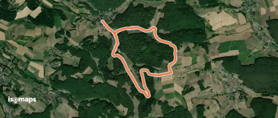
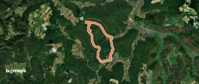
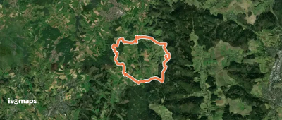
Emichshöhe, Allemagne
12,07 km +403 m 2h 55min
Facile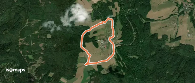
Essayez Isomaps gratuitement pendant 7 jours. Disponible sur iOS et Android.
