1,373 itinéraires dans Odenwald. Trouvez votre prochain parcours sur Isomaps — cartes topo, GPS et profil altimétrique.
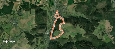
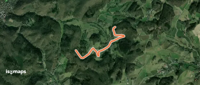
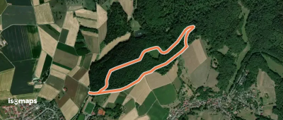
Seeheim-Jugenheim, Allemagne
3,02 km +176 m 1h 5min
Très facile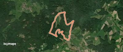
Laudenau, Allemagne
4,33 km +194 m 1h 15min
Très facile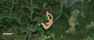
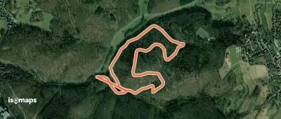
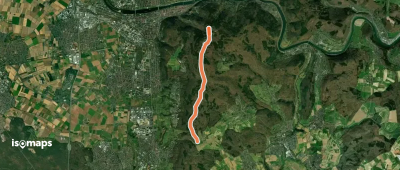
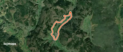
Neckarsteinach, Allemagne
12,92 km +500 m 3h 40min
Modéré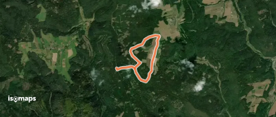
Auf der Höhe, Allemagne
5,26 km +66 m 1h 5min
Très facile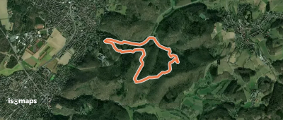
Seeheim-Jugenheim, Allemagne
4,01 km +195 m 1h 15min
Très facile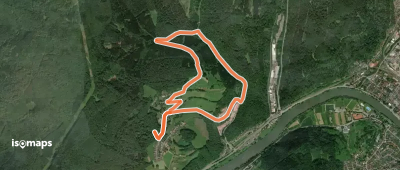
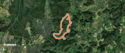
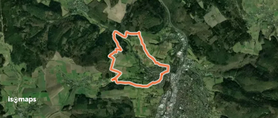
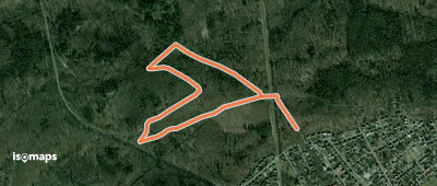
Igelsbach, Allemagne
4,96 km +205 m 1h 30min
Très facile
Seeheim-Jugenheim, Allemagne
6,97 km +385 m 2h 15min
Facile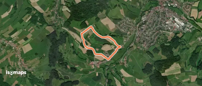
Reichelsheim, Allemagne
2,69 km +102 m 45min
Très facile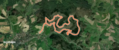
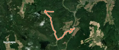
Brensbach, Allemagne
2,31 km +132 m 40min
Très facile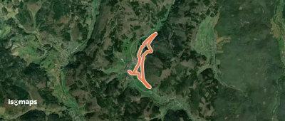
Heddesbach, Allemagne
4,99 km +175 m 1h 20min
Très facile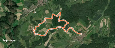
Essayez Isomaps gratuitement pendant 7 jours. Disponible sur iOS et Android.
