1,373 itinéraires dans Odenwald. Trouvez votre prochain parcours sur Isomaps — cartes topo, GPS et profil altimétrique.
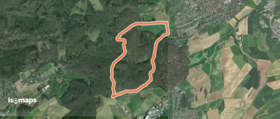
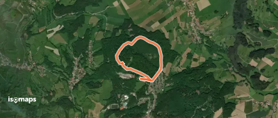
Ober-Ramstadt, Allemagne
4,16 km +130 m 1h 0min
Très facile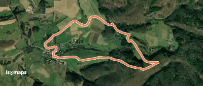
Rimbach, Allemagne
3,56 km +189 m 1h 0min
Très facile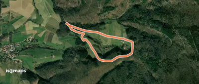
Münschbach, Allemagne
2,10 km +120 m 40min
Très facile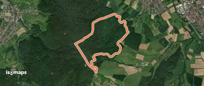
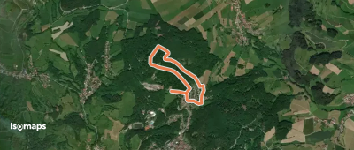
Steinkaute, Allemagne
4,78 km +251 m 1h 20min
Très facile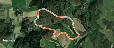
Hoxhohl, Allemagne
2,74 km +141 m 45min
Très facile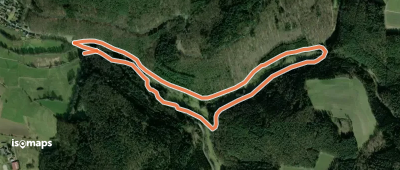
Erbach im Odenwald, Allemagne
3,80 km +114 m 1h 5min
Très facile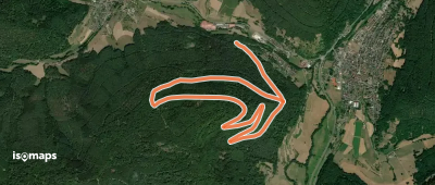
Weilbach, Allemagne
6,02 km +263 m 1h 30min
Très facile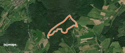
Nonrod, Allemagne
3,33 km +114 m 50min
Très facile
Höchst im Odenwald, Allemagne
4,39 km +171 m 1h 15min
Très facile
Fränkisch-Crumbach, Allemagne
3,46 km +130 m 50min
Très facile
Steinernfirst, Allemagne
2,97 km +138 m 55min
Très facile
Sensbacher Höhe, Allemagne
3,62 km +106 m 50min
Très facile
Lindenfels, Allemagne
2,68 km +183 m 1h 5min
Très facile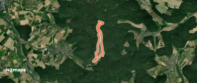
Heubach, Allemagne
4,85 km +166 m 1h 25min
Très facile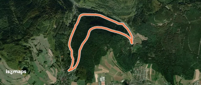
Lindenfels, Allemagne
2,79 km +165 m 55min
Très facileEssayez Isomaps gratuitement pendant 7 jours. Disponible sur iOS et Android.
