1,373 itinéraires dans Odenwald. Trouvez votre prochain parcours sur Isomaps — cartes topo, GPS et profil altimétrique.
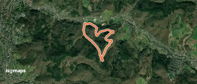
Weinheim, Allemagne
3,22 km +178 m 1h 5min
Très facile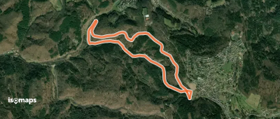
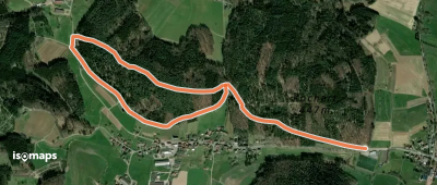
Wilhelmsfeld, Allemagne
5,61 km +232 m 1h 30min
Très facile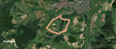
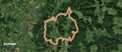
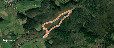
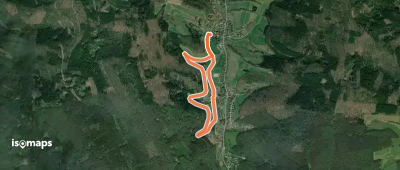
Fränkisch-Crumbach, Allemagne
2,76 km +77 m 35min
Très facile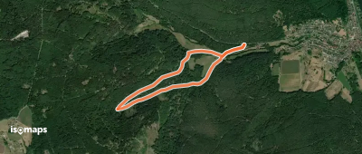
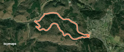
Laudenbach, Allemagne
3,82 km +154 m 1h 5min
Très facile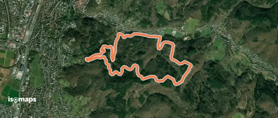
Weinheim, Allemagne
6,26 km +417 m 2h 25min
Facile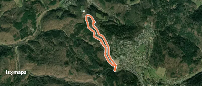
Wilhelmsfeld, Allemagne
6,19 km +270 m 1h 45min
Très facile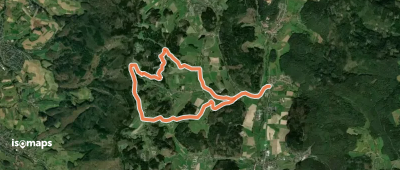
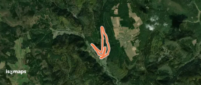
Kochert, Allemagne
2,20 km +94 m 40min
Très facile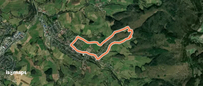
Münschbach, Allemagne
3,94 km +161 m 1h 0min
Très facile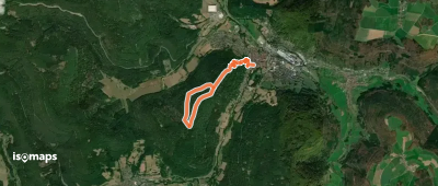
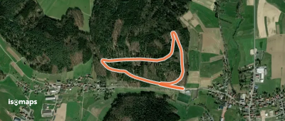
Rimbach, Allemagne
2,03 km +107 m 40min
Très facile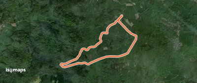
Schannenbach, Allemagne
5,17 km +195 m 1h 20min
Très facile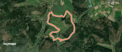
Gammelsbach, Allemagne
3,30 km +160 m 1h 10min
Très facile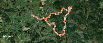
Wald-Michelbach, Allemagne
12,26 km +483 m 3h 20min
Facile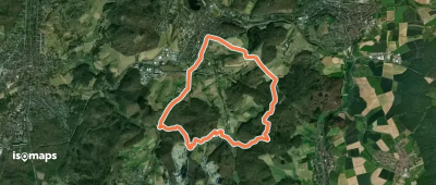
Essayez Isomaps gratuitement pendant 7 jours. Disponible sur iOS et Android.
