1,373 itinéraires dans Odenwald. Trouvez votre prochain parcours sur Isomaps — cartes topo, GPS et profil altimétrique.
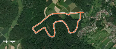
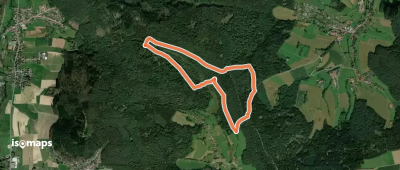
Lichtenberg, Allemagne
3,23 km +111 m 50min
Très facile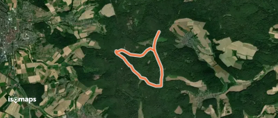
Dorndiel, Allemagne
5,69 km +194 m 1h 20min
Très facile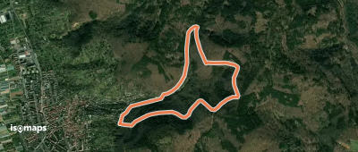
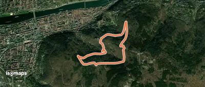
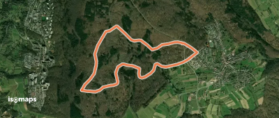
Heidelberg, Allemagne
5,34 km +272 m 2h 0min
Facile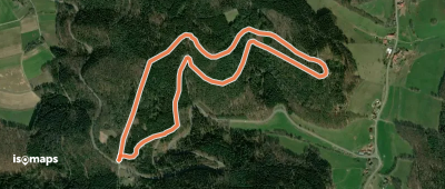
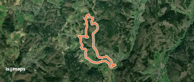
Sensbacher Höhe, Allemagne
3,65 km +106 m 50min
Très facile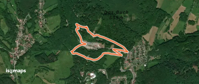
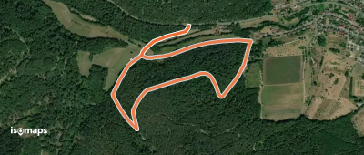
Lindenfels, Allemagne
2,31 km +150 m 55min
Très facile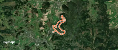
Wald-Michelbach, Allemagne
5,68 km +222 m 1h 30min
Très facile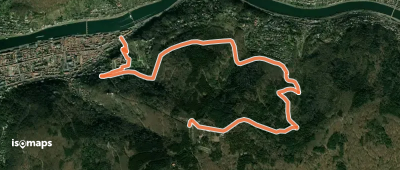
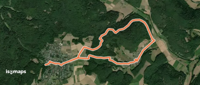
Heiligkreuzsteinach, Allemagne
9,08 km +438 m 2h 45min
Facile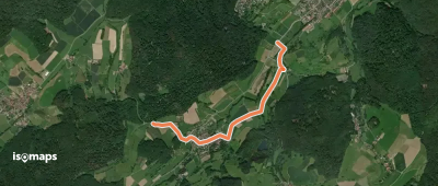

Laudenbach, Allemagne
3,14 km +91 m 45min
Très facile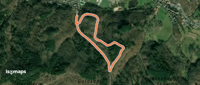
Weinheim, Allemagne
2,18 km +144 m 50min
Très facile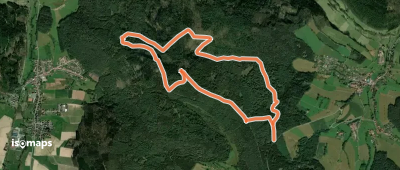
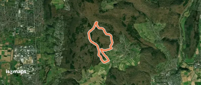
Güttersbach, Allemagne
6,31 km +244 m 1h 35min
Très facile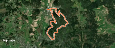
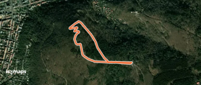
Affolterbach, Allemagne
10,08 km +335 m 2h 35min
FacileEssayez Isomaps gratuitement pendant 7 jours. Disponible sur iOS et Android.
