3,514 itinéraires dans England. Trouvez votre prochain parcours sur Isomaps — cartes topo, GPS et profil altimétrique.
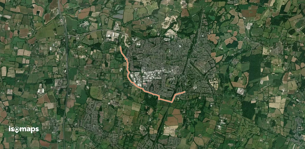


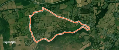

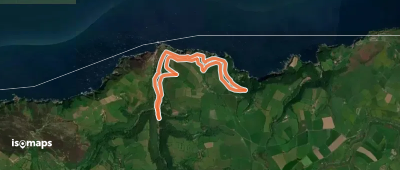
Sea Palling, Royaume-Uni
40,73 km +579 m 9h 55min
Très difficile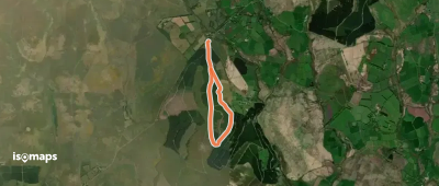


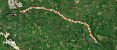
Rosthwaite, Royaume-Uni
7,13 km +377 m 2h 35min
Facile

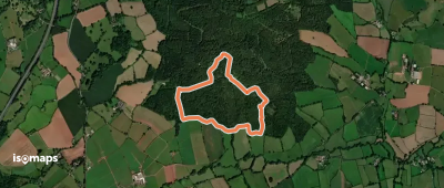
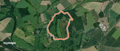
Polzeath, Royaume-Uni
4,88 km +191 m 1h 45min
Très facile
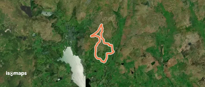
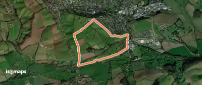
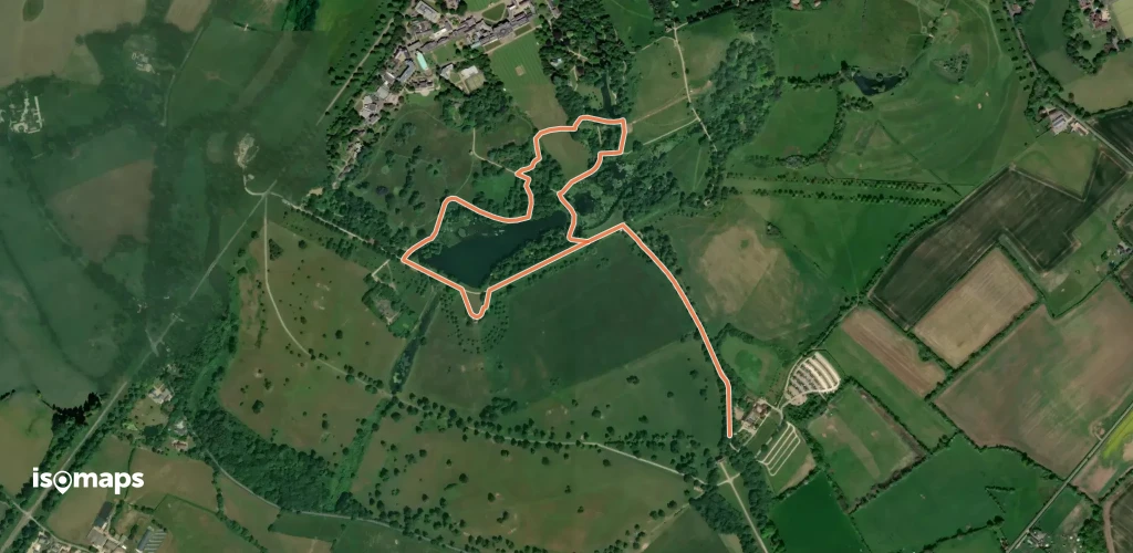
Whipsnade, Royaume-Uni
2,92 km +38 m 40min
Très facile

Essayez Isomaps gratuitement pendant 7 jours. Disponible sur iOS et Android.
