3,514 itinéraires dans England. Trouvez votre prochain parcours sur Isomaps — cartes topo, GPS et profil altimétrique.
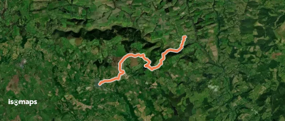

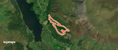
Seatoller, Royaume-Uni
8,52 km +546 m 3h 25min
Facile
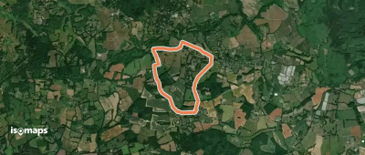
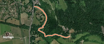
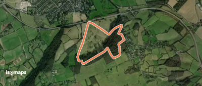
Westhumble, Royaume-Uni
3,57 km +302 m 1h 15min
Facile
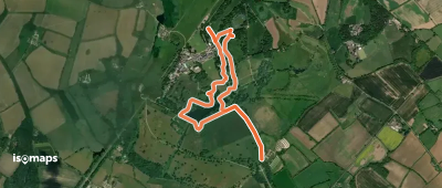
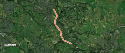
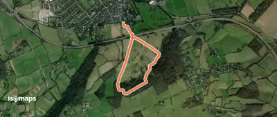
Marple, Royaume-Uni
3,19 km +35 m 45min
Très facile
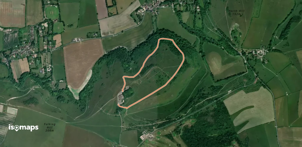
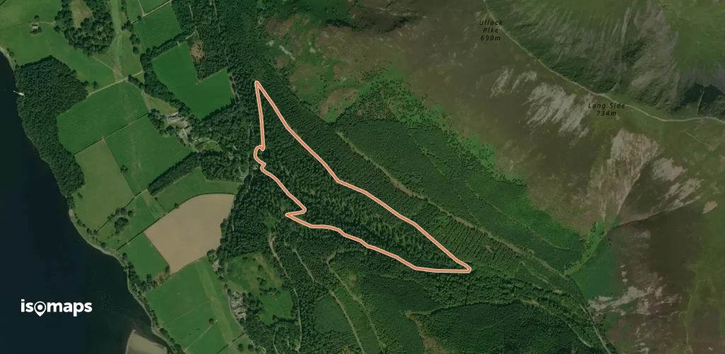
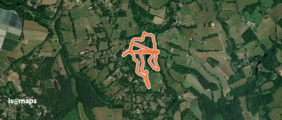
Shipbourne, Royaume-Uni
5,87 km +131 m 1h 15min
Très facile


Essayez Isomaps gratuitement pendant 7 jours. Disponible sur iOS et Android.
