3,514 itinéraires dans England. Trouvez votre prochain parcours sur Isomaps — cartes topo, GPS et profil altimétrique.


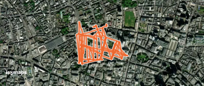

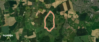
Westhumble, Royaume-Uni
4,61 km +143 m 1h 5min
Très facile
Constantine Bay, Royaume-Uni
3,08 km +94 m 50min
Très facile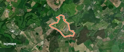
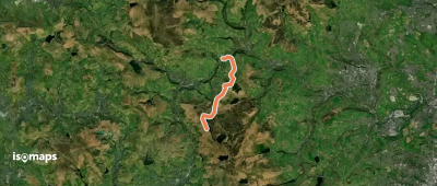
Bubbenhall, Royaume-Uni
6,29 km +66 m 1h 15min
Très facile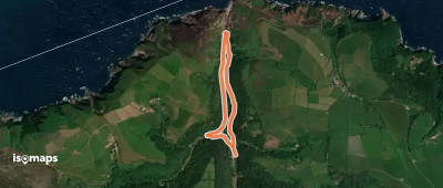


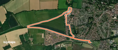
Goring, Royaume-Uni
5,98 km +164 m 1h 20min
Très facile

Box Hill Country Park, Royaume-Uni
5,44 km +158 m 1h 15min
Très facile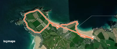
Harlyn, Royaume-Uni
5,93 km +170 m 2h 30min
Très facile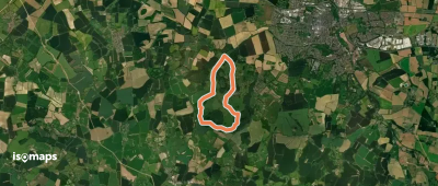

Essayez Isomaps gratuitement pendant 7 jours. Disponible sur iOS et Android.
