500 Touren in Ecrins. Finden Sie Ihre nächste Route auf Isomaps — Topokarten, GPS und Höhenprofil.
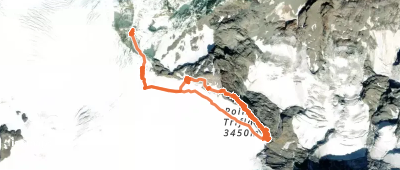

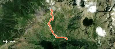
Aiguille Plat de la Selle, France
7,52 km +2 095 m 1h 55min
Mittel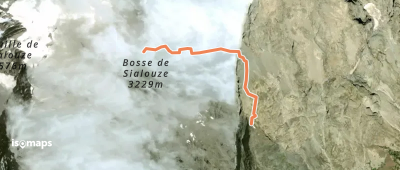
Le Petit Pelvoux, France
1,31 km +510 m 15min
Mittel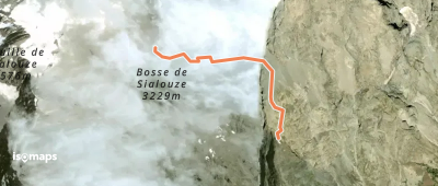
Mont Pelvoux, France
1,34 km +521 m 15min
Mittel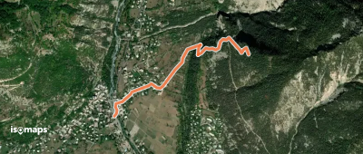

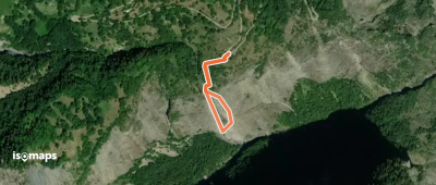
Les Clots, France
9,61 km +1 844 m 2h 25min
Mittel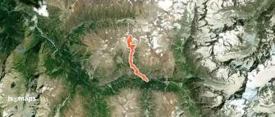
Aiguille Plat de la Selle, France
8,50 km +787 m 2h 0min
Mittel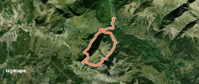

Champ-Didier, France
16,10 km +2 002 m 5h 30min
Schwer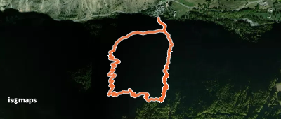
Tête de Chétives, France
11,25 km +1 265 m 3h 50min
MittelTesten Sie Iso Maps 7 Tage kostenlos. Verfügbar für iOS und Android.
