Staffed hut · 4 556 m · Alagna Valsesia
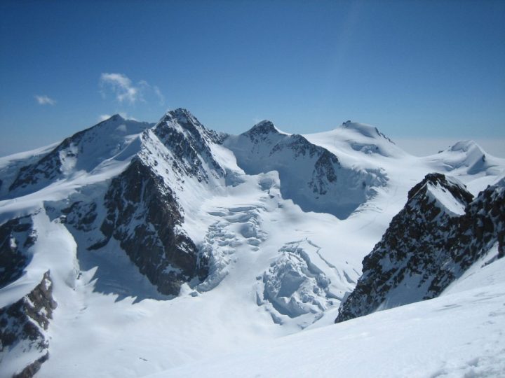
Guarded public refuge located in Alagna Valsesia in the Piedmont region. It occupies the summit of Signalkuppe (Punta Gnifetti). Open from mid-June to mid-October.
Loading the forecast…
Maps: CNS (Switzerland) 1:25000 sheet 1348 "Zermatt" (for the Grenzgletscher section), or 1:50000 sheets 294 "Gressoney" and 284 "Mischabel" (for the entire route). Italian maps commonly sold in tourist areas are worthless, I repeat: WORTHLESS. You should obtain IGM maps from a bookstore in Aosta. Essential bibliography: in French, Guide des Alpes Valaisannes, volume III, by Maurice Brandt, Editions du C.A.S.. In Italian, Collection of "Guida dei Monti d'Italia", volume "Monte Rosa", by Gino Buscaini, Editions du CAI/TCI. Access is usually via the Lys Pass, from [->1569] or [->2066], along the Lys Glacier first, then crossing the border and following the left bank of the terminal basin of the Grenzgletscher along the northern foot of the border chain. The final slopes, where the path zigzags up the north face of Signalkuppe, will be the steepest. Technically easy but with impressive seracs on the right and large hidden crevasses. Rope mandatory! Approximately 4 hours from the mentioned huts. If arriving from Switzerland, from [->2432] for example, you will need to climb 1800 m of elevation gain plus the entire Grenzgletscher, weaving between crevasses. Six hours, and that's it.
Winter refuge with 15 places always available. Navigation difficult in fog over large glaciers. Bad weather between Lys Pass and the refuge can be severe (you are permanently above 4000 m). Languages spoken: French, English, German, Italian, Spanish.
No source says whether this hut is open. Missing information is not a guarantee.
This page brings together several open sources. The licences below apply to their respective content.
Try Isomaps free for 7 days. Available on iOS and Android.


